
Navigation
Install the app
How to install the app on iOS
Follow along with the video below to see how to install our site as a web app on your home screen.
Note: This feature may not be available in some browsers.
More options
You are using an out of date browser. It may not display this or other websites correctly.
You should upgrade or use an alternative browser.
You should upgrade or use an alternative browser.
Bad experiences with CoPilot. Are there any better Satnavs?
- Thread starter CRD
- Start date
I'm a copilot user, the only time its taken me a route which I would have preferred not to use was through me not setting the software up correctly, you can set it up to avoid local and secondary streets and favour duel carrigeways and primary roads, also if you're calling copilot from another app like search for sites, make sure it is using the correct routing profile you've previously set up for your van. Since I realised my mistake its never mis-routed me.
scotjimland
LIFE MEMBER
your first two posts and both recommending NAVPAL ..NAVPAL, look for them on Amazon it's the bestseller, and a british brand!

British Brand maybe .. but just a cheap Chinese made sat nav
gets some terrible reviews on Amazon
Last edited:
Whose mapping does it use? There aren't many to chose from.Hi Guys, I am new to the group! But I have seen a few posts here about sat navs... and we have been using a NAVPAL, it's a great device with British customer support. You can enter dimensions to avoid restricted roads, something worth a look.
scotjimland
LIFE MEMBER
this is starting to look like spam
Subscribers do not see these advertisements
Last edited:
scotjimland
LIFE MEMBER
far enoughSorry scott, just getting used to the group, and thought I'd post my feelings about it as really love the product.
but when a newbie without introducing themselves posts 5 times to endorse a product ..it looks like spam..
i
Interesting. Thank you. It makes me wonder if I hadn't set up software correctly too.I'm a copilot user, the only time its taken me a route which I would have preferred not to use was through me not setting the software up correctly, you can set it up to avoid local and secondary streets and favour duel carrigeways and primary roads, also if you're calling copilot from another app like search for sites, make sure it is using the correct routing profile you've previously set up for your van. Since I realised my mistake its never mis-routed me.
Just to update this thread. I have been trialling the TomTom Truck app, and will have to decide soon to subscribe to it, or not.
We tried it on a trip to Chichester last weekend and generally it was very good. The traffic updates, speed camera alerts and interface are all very good. I particularly like the roads that don't meet the weight/dimension requirements displaying in red as you come to them.
However....the maps are not very up to date. It insisted on taking us the wrong way down a one way road in Chichester at one point, and would not offer an alternative route. We switched to Apple Maps at that point, which knew about the one way road and steered us around it.
Another issue is that it isn't compatible with Apple family sharing and can therefore be only displayed on one device, which isn't great.
So.....overall the TomTom Truck app seems much better than Co-Pilot, but as long as we can work around some of its limitations, we are going to go with it.
Jim
Ringleader
We are always testing our Garmin Camper Satnav with the phone apps. Our up to date Garmin will get the most part of the journey right and then stuff you ¼ of a mile from your destination taking you down a dirt track or leading you to the back of an aire rather than the entrance.
Right now I don't think you can beat your phone, Google maps are awesome. In our opinion Apple mapping has caught them up and just about beats Google with presentation, clear directions and mapping, but only just.
The Garmin will save me mobile data on a full days travel, but when we really need good direction; mobile data is turned on for live mapping, Google or Apple, both are streets ahead of the Garmin.
eddie
LIFE MEMBER
I agree with Jim, we have a Kenwood head unit, which came with Garmin truck navigation, but already had a Tom Tom camper unit.
Lyn always used to read a map “in the old days so uses Google maps now.
The Tom Tom is good, the Garmin is awful for last minute strange directions but Google maps is virtually perfect every time
Lyn always used to read a map “in the old days so uses Google maps now.
The Tom Tom is good, the Garmin is awful for last minute strange directions but Google maps is virtually perfect every time
Subscribers do not see these advertisements
funflair
LIFE MEMBER
Can you set waypoints on Apple maps Jim?We are always testing our Garmin Camper Satnav with the phone apps. Our up to date Garmin will get the most part of the journey right and then stuff you ¼ of a mile from your destination taking you down a dirt track or leading you to the back of an aire rather than the entrance.
Right now I don't think you can beat your phone, Google maps are awesome. In our opinion Apple mapping has caught them up and just about beats Google with presentation, clear directions and mapping, but only just.
The Garmin will save me mobile data on a full days travel, but when we really need good direction; mobile data is turned on for live mapping, Google or Apple, both are streets ahead of the Garmin.
Jim
Ringleader
Can you set waypoints on Apple maps Jim?
Yes you can add stops on route, which are as good as
")
Jim
Ringleader
Can you set waypoints on Apple maps Jim?
If you have a Macbook or iPad you can create a route using the large map, drag the route path to precisley where you want to go, add stops/waypoints. When you are happy, share it to your phone. Da daaa. Your phone will take you on the precise route you chose.
Trying to drag the route on an iMac just moves the map around - there's nowt in Maps Help mouse/keyboard commands that suggest that it's possible on an iMac. Do you know how, Jim ?If you have a Macbook or iPad you can create a route using the large map, drag the route path to precisley where you want to go, add stops/waypoints.
- Oct 25, 2023
- 66
- 120
- Funster No
- 99,517
- MH
- Chausson 630
- Exp
- Only since April 2024 (but caravanning since 2020)
I've just bought that one too. Tired of bad roads in our previous caravan. Now replaced with a mh. I've heard to select car mode and input slightly larger dimensions. What do you use?I've tied and looked at a few options including apps but went for a Ohrex and very pleased with my choice.
OHREX Sat Nav 9 inch, N76 SatNav for Car Truck Lorry HGV LGV Motorhome, with UK Europe Maps 2024(Free Lifetime Updates), Speed Cam Alert, Postcodes & POI, Lane Guidance, Driver Alerts https://www.amazon.co.uk/dp/B09J4W16TX/?tag=mhf04-21
Subscribers do not see these advertisements
This site contains affiliate links for which MHF may be compensated.
JockandRita
LIFE MEMBER
- Aug 2, 2007
- 12,765
- 176,858
- Funster No
- 49
- MH
- N+B Flair 8000i
- Exp
- Since May 05 (Ex Tuggers).
Although a different brand, it's the same 9" Chinese Sat Nav I have been using for years. In the UK, I use Truck mode, my preference).What do you use?
In France, Switzerland and Austria, I use car mode, but with my weight set at 3.49T, due to the many 3.5T weight restrictions, which only apply to commercial vehicles. I keep all other dimensions the same, as in Truck mode.
It is a bit of a learning curve, as there are so many options available.
Good luck,
Jock.
")
- Oct 25, 2023
- 66
- 120
- Funster No
- 99,517
- MH
- Chausson 630
- Exp
- Only since April 2024 (but caravanning since 2020)
Many thanks for your advice. Appreciated. I saw a number of less expensive "no name" Chinese brands that looked like the OHREX, but was worried about the "buy twice" warnings I've heard about. Sounds very sensible about the 3.49T weight dimension by the way. Thanks.Although a different brand, it's the same 9" Chinese Sat Nav I have been using for years. In the UK, I use Truck mode, my preference).
In France, Switzerland and Austria, I use car mode, but with my weight set at 3.49T, due to the many 3.5T weight restrictions, which only apply to commercial vehicles. I keep all other dimensions the same, as in Truck mode.
It is a bit of a learning curve, as there are so many options available.
Good luck,
Jock.

scotjimland
LIFE MEMBER
I don't see how to drag a route either ... also find it a bit less intuitive than Google maps .. but then again, been using Google Maps since around 2006 , so a lot more familiar ..Trying to drag the route on an iMac just moves the map around - there's nowt in Maps Help mouse/keyboard commands that suggest that it's possible on an iMac. Do you know how, Jim ?
In 1999 I bought an iBook and used Route 66, with a GPS mouse that sat on car roof. Apple only brought out Maps in 2012 .. so were playing catch-up..
Jim
Ringleader
Trying to drag the route on an iMac just moves the map around - there's nowt in Maps Help mouse/keyboard commands that suggest that it's possible on an iMac. Do you know how, Jim ?
It's the google maps on my map I drag around, to build on apple maps I use stops/waypoints For me it's not as important these days, the benefit of being in a go anywhere 6m van. When we had much larger vans (up to 11m) it was much more important to get every yard of the route right. Oh the stories we can tell when we didn't.

I’ve got magic earth but it doesn’t seem to accept postcodes for a lot of places, it just seems to only let you go to the main town/city etc and not the specific place/campsite etc.I have been using Magic Earth for sometime now and have found it better than Copilot and Sygic.
You can input your MH dimensions and weight in the "Truck" profile, and it gives you traffic delay updates on your chosen route plus the app is a freebie, but it does use phone data.
The only time it has really given any duff roads to go down has been in Portugal, but I think that is only because of the poor road data it's having to work with.
Give it a try and if you don't like it then nothing lost as it's a freebie.
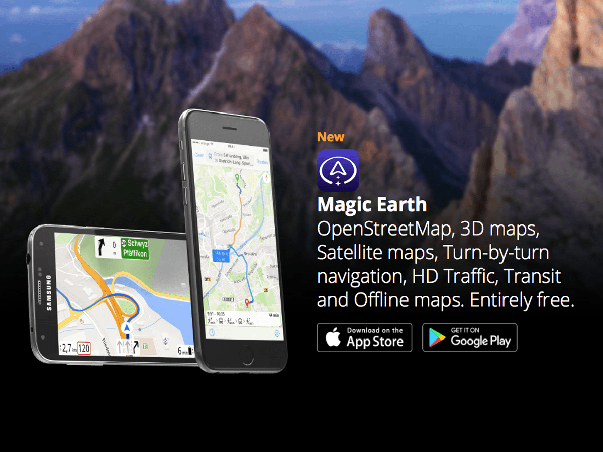
Magic Earth - Free Navigation & Maps App for Android and iPhone
Magic Earth is a free maps and navigation app based on OpenStreetMap data. Enjoy 3D maps, Satellite maps, Turn-by-turn navigation, HD Traffic, Offline mapswww.magicearth.com
Subscribers do not see these advertisements
Two on Tour
LIFE MEMBER
- Sep 16, 2016
- 11,520
- 65,597
- Funster No
- 45,145
- MH
- Elddis Autoquest 175
- Exp
- Since 2010
I’ve got magic earth but it doesn’t seem to accept postcodes for a lot of places, it just seems to only let you go to the main town/city etc and not the specific place/campsite etc.
I have never tried using post codes as I normally use P4N which links to Magic Earth for directions or I use the pin on the map option.
Thankyou, I need to play around with it more, I didn’t even know it had a pin on map option.I have never tried using post codes as I normally use P4N which links to Magic Earth for directions or I use the pin on the map option.
Two on Tour
LIFE MEMBER
- Sep 16, 2016
- 11,520
- 65,597
- Funster No
- 45,145
- MH
- Elddis Autoquest 175
- Exp
- Since 2010
Here you go Paul, click on "Map" and the move the map until the pin is over the location you want directions to.Thankyou, I need to play around with it more, I didn’t even know it had a pin on map option.
Lorry from memoryI've just bought that one too. Tired of bad roads in our previous caravan. Now replaced with a mh. I've heard to select car mode and input slightly larger dimensions. What do you use?
There is a Facebook page with hints and tips but not spent much time on it yet.I've just bought that one too. Tired of bad roads in our previous caravan. Now replaced with a mh. I've heard to select car mode and input slightly larger dimensions. What do you use?
Subscribers do not see these advertisements
I have always used Garmin but always watch the map road ahead to avoid any difficult short cuts and never completely rely upon Sat nav mapping as it can be out of date.
A manual map check and notes of your route as a backup.
A manual map check and notes of your route as a backup.
Ian Bosman
Free Member
- Mar 14, 2019
- 1,145
- 1,141
- Funster No
- 59,127
- MH
- Elddis Autoquest155
- Exp
- Since 2018
i have used apple maps which seems t do the job for me. can use gps coordinatesI've used magic earth a few times and don't like it. Once it just dumped us in the middle of a motorway saying we had arrived! Another time it took us down a toll road when we had set it not to. It doesn't always seem to remember the settings you make.
If Google maps had camera warnings you would need nothing else.
Except physical maps and a large dose of common sense. If a low bridge or narrow lane hasn't been mapped, it doesn't matter how fancy your dimension-input SatNav is, it will still take you there, and if you just have blind belief in that app you will have problems.