Steve N Tracy
LIFE MEMBER
I find the free mapy.cz app lists nearly all the cycle routes and walking routes I ever need.

Follow along with the video below to see how to install our site as a web app on your home screen.
Note: This feature may not be available in some browsers.

 mapout.app
Subscribers do not see these advertisements
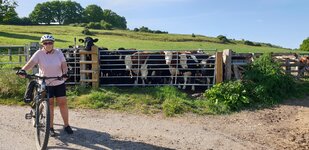
But not the bridleways.


But not the bridleways.
Phil
Subscribers do not see these advertisements
Oh! There was a broken link edit.Do you have access to a PC?
For UK walking & cycling I’ve used <Broken link removed>’s OS maps for years. Occasionally I look at other routing programs but not for long.
If there’s a route on Strava I’d like, I’d export it as a gpx file and edit it in MM.
Then export from MM to my GPSr
They support other operating systems it Windows is what I’ve done 99.9% of my use.

 it is an old thread…
Subscribers do not see these advertisements
And you can download maps for the whole of Europe (for free) so they can be displayed, even if no internet available. Saved our bacon on several occasions.Mappy CZ free satnav off the google and apple stores, shows bike routes and walking routes.
After 2 years of using Komoot I find it's not so much fun getting lostToday I have used "Where's the Path 3" an OS mapping app for cyclists.
I swipe though the route and take a screenshot of any difficult bits and they are in my pocket if needed.
But the best bit is getting lost and finding new paths.
Phil

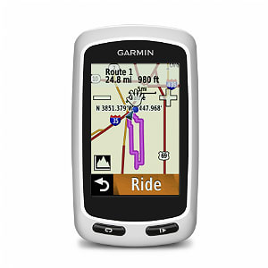
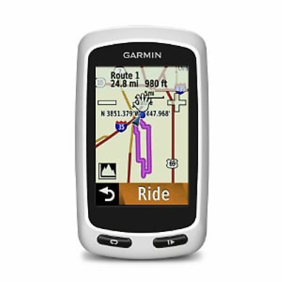
 www.garmin.com
Subscribers do not see these advertisements
This thread originated in 2020...nice to read all the past posts...one of which I put on..I have used Garmin products a lot but bought an e-bike a couple of years ago which has a Bosch Nyon device. It's not cheap but it is very good and designed for cycling. Better still, it's just as good if you wander abroad. There are POI on it which you can call-up if required: I gat caught in a downpour so asked for a restaurant and was offered various grades at different distances. selected the nearest, which turned-out to be great (warm & dry) and worth the cost just for that.

Subscribers do not see these advertisements